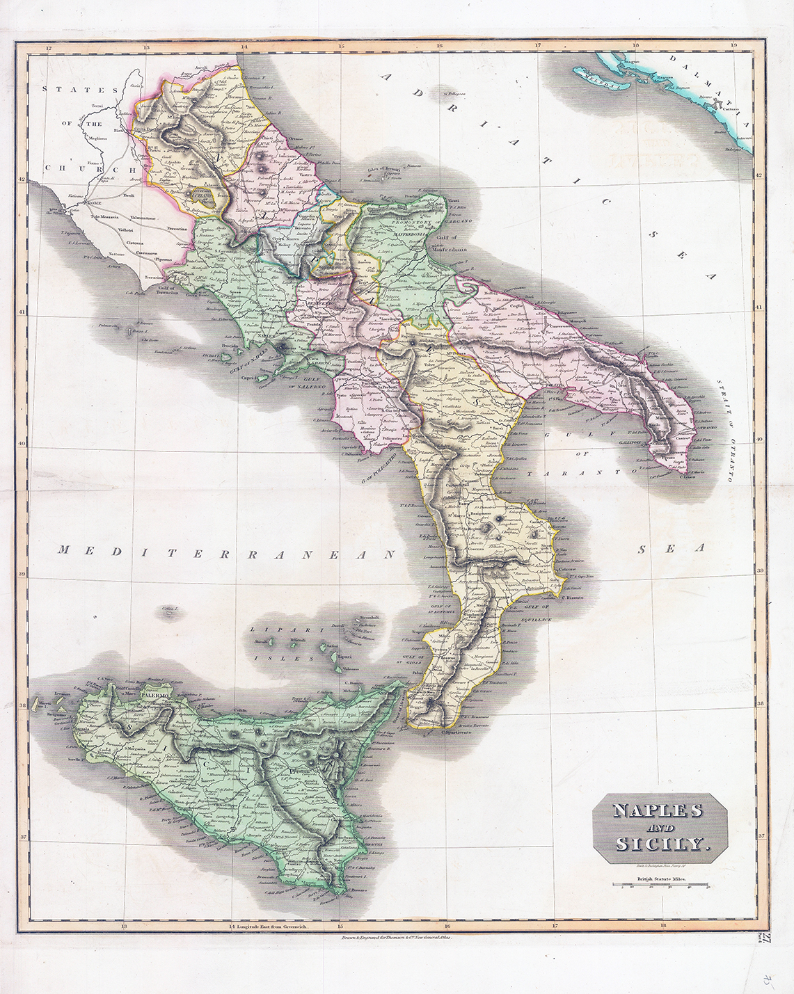
1817 - "NAPLES AND SICILY".
A fascinating hand coloured map by Edinburgh cartographer John Thomson depicts southern Italy. It covers from Rome south to the island of Sicily depicting the Kingdom of Naples, which extended from the Papal States south to include all of Sicily. The size and scale of this map, along with the original colour makes this one of the finest maps of this region to appear in the early 19th century.
Size approximately 52.5cm x 68cm.
Condition is excellent with central fold as issued.
£90.00