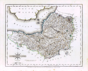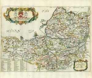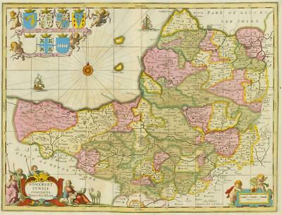
c1694 – A fantastic original antique map titled "SOMERSET TENSIS COMITATUS SOMERSETSHIRE" by Schenk & Valk, based on the earlier maps by Jansson.
Overall, in wonderful condition and measuring approximately 59cm x 55cm with lovely hand colouring.
Some minor re-enforcement to the rear and light ageing around the compass, expected on a map of this age.
This example of Somerset bears the Schenk and Valck imprint at the bottom right and has had a graticule of latitude and longitude added.
Jan Jansson was one of Amsterdam's leading 17th century mapmakers, and a close rival to the Blaeu family. His multi-volume world atlas first saw the introduction of 6 maps of individual English counties into the German edition of 1636, and a further 11 of English and Welsh counties in the Dutch edition of 1644. But when Jansson saw the 1645 Blaeu volume with more decorative maps covering all the English and Welsh counties, he felt obliged to revise his existing plates and complete the set in order to compete. His new volume covering England and Wales was first published in the 1646 Latin text edition of the Atlas Novus. In 1694 the printing plates were acquired by the Amsterdam firm of Schenk and Valk who made various revisions, and sold the maps singly or in composite atlases.
£385.00