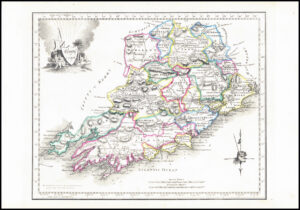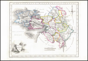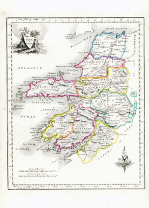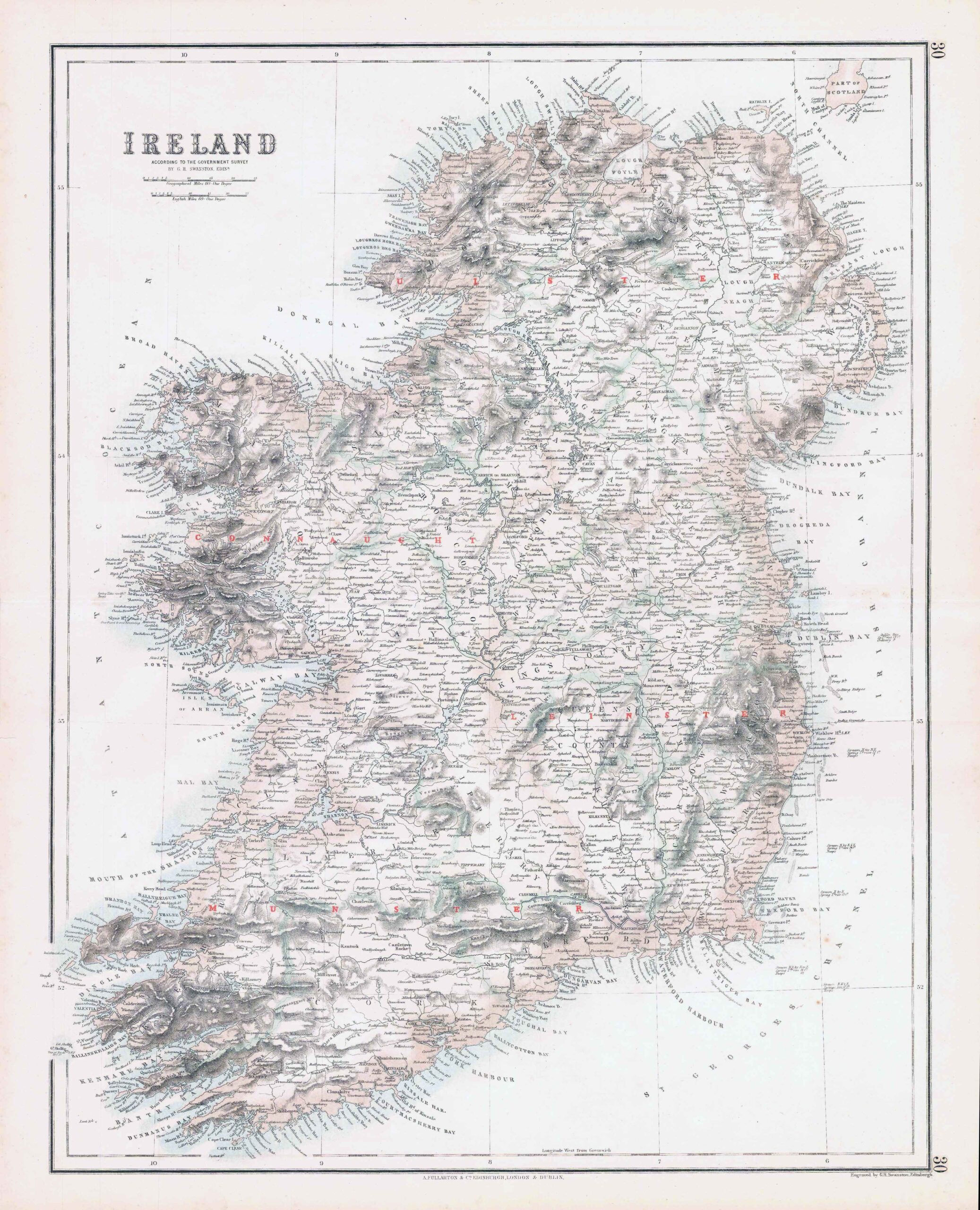
c1860s - Large original antique map titled "IRELAND" with Comparative views of the Heights of the Principal Mountains and Basins of the Principal Rivers ON THE GLOBE by C.H.S.SWANSTON" & published by A Fullerton & Co. Published for "The Royal Illustrated Atlas, Of Modern Geography". Original Colour and central fold as issued.
Measuring approximately 57.5cm x 47cm (22.6in x 18.5).
Generally, very fine condition with a few light tone spots, as expected for a map of over 150 years of age.
£44.00