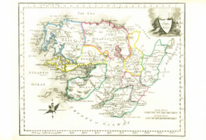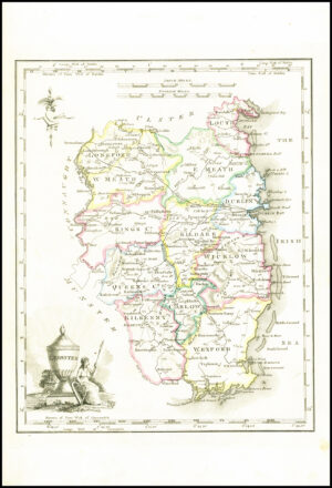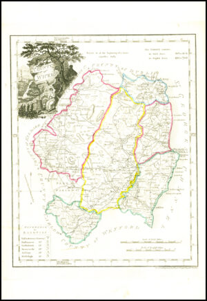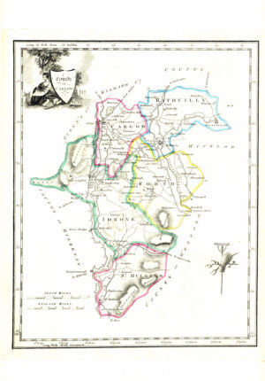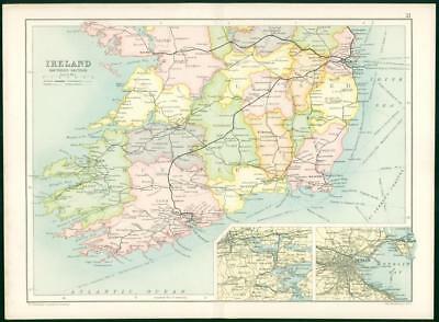
1912 - An original colour folded antique Map titled: " IRELAND SOUTHERN SECTION "
Published by the EDINBURGH GEOGRAPHICAL INSTITUTE under the patronage of the Royal Scottish Geographical Society & taken from the ATLAS OF THE WORLD, designed and prepared under the direction of J G Bartholomew.
Size overall approximately 35cm x 26cm and perfect for mounting and framing.
Condition is excellent with central fold as issued, large margins & with vibrant colours.
£16.50