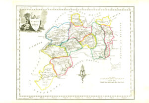
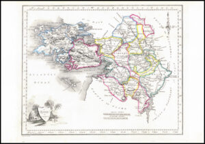
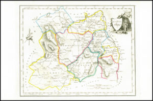
1719 - Large original antique engraved print titled "CARTE DU GOUVERNEMENT CIVIL ET MILITAIRE AVEC L'ETAT DES ORRIFIERS DU ROYAUME D'IRLANDE." by Henry Chatelain. Irish civil and military government is featured with a pair of maps of Ireland, one in each corner, representing the kingdom as a whole and broken into its four Provinces. Next to these are the Arms of the Kingdom of Ireland and the United Kingdom of Great Britain. In the bottom corners, two vignettes show the Irish Parliament and the Commons. Lists of individuals and territories, and notes on the kingdom surround the maps. Henri Abraham Chatelain (1684 - 1743) was a Dutch cartographer and pastor best known for his seminal seven volume "Atlas Historique". This is a beautiful example of his work.
Overall size approximately 50cm x 44cm with fine detail later hand colouring and central fold as issued.
£220.00