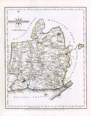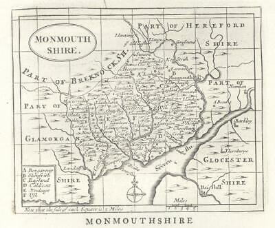
c1780 - MONMOUTHSHIRE
Published in London, circa 1780. An attractive copper engraved antique county map published in circa 1780 for Francis Grose's "The Antiquities of England & Wales". The map with plain title cartouche and separate scale of distance. Interesting topographical and historical text appears beneath the map and is continued on the verso. Image size of print approx. 330mm x 220mm, perfect for mounting and framing.
John Seller (circa 1630-1697) was a cartographer and scientific instrument maker who sold his work from his shop at 'The Mariner's Compass' in Wapping, London. This was an area much frequented by sailors who disembarked at Wapping and who often had information useful to Seller for his nautical charts. Seller also offered instruction in "Arithmetick, geometry, algebra, trigonometry, navigation and gunnery; likewise the use of globes and other mathematical instruments, the projection of the sphere and other parts of the mathematics."
£20.00