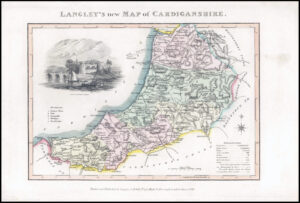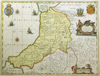
c1648 - A large original antique print map titled: " CERETICA sive CARDIGANENSIS Comitatus Anglis CARDIGAN SHIRE "
A highly decorative copper engraved 17th Century Map of CARDIGANSHIRE which was published in Joan Blaeu's Novus Atlas Das ist Welt. The Blaeu workshop, based in Amsterdam, produced the most magnificent atlases and maps of the period, the time in which the Netherlands was experiencing its 'Golden Age' in art, sciences and commerce. Blaeu uséd only the best engravers, printers and colourists and only the finest materials, including paper, to produce his atlases. In 1645 he published a county atlas of England and Wales as part of this 'Theatrum Orbis Terrarum' series.
Fine decorative cartouches with blank verso.
CONDITION: Overall good condition with lovely hand colouring and central fold as issued. Once mounted and framed, will look fantastic. Blank verso.
Overall size 66cm x 52cm.
£350.00