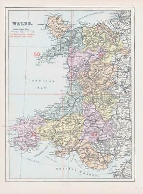
1883 - Large original colour Antique Map titled: " WALES "
Provenance: Taken from ' New Large Scale Ordnance Map of the British Isles with plans of Towns, Copious letterpress descriptions, Alphabetical Indexes and census tables' published & edited by George W Bacon, Agent by Appointment for the Ordnance Maps, 127 Strand.
Good condition overall with central fold as issued. Some light age toning in the margins.
Size of map approximately 34cm x 25cm (13.3in x 9.8in) including margins.
£19.80