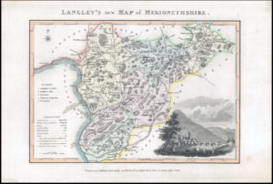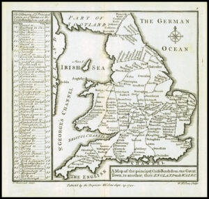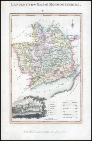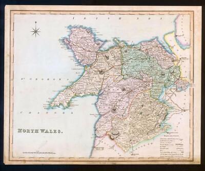
1831 - "NORTH WALES" - An original Antique Map published by Henry Teesdale in 1831 in his Atlas titled: " New British Atlas Containing a Complete Set of County Maps On Which are Delineated All The Principal Cross Roads, Cities, Towns & Most Considerable Villages, Parks, Rivers, Navigable Canals & Railways"
Original outline and full wash hand colour.
An explanatory key details, towns, canals, rivers and roads and the distance in miles between towns is shown on the turnpike roads. There is also a reference to the Hundreds, a scale of miles and Compass Rose.
Blank verso and generally excellent condition with good margins but with some darker toning to lower margin and closed tear to top left corner. Will look fine once mounted and framed.
Measuring approximately 14.5" x 17.5" (440mm x 370mm) overall size.
£38.50