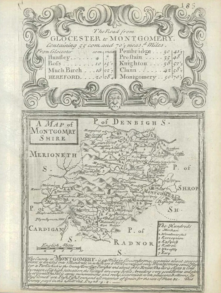
1753 - "MONTGOMERYSHIRE"
A original antique copper plate map by John Owen & Emmanuel Bowen & taken from "BRITANNIA DEPICTA OR OGILBY IMPROV'D; BEING A CORRECT COPPY OF Mr Ogilby's ACTUAL SURVEY OF ALL YE DIRECT & PRINCIPAL CROSS ROADS IN ENGLAND & WALES".
Overall size approximately 145mm x 195mm with large margins, perfect for mounting and framing.
£18.00