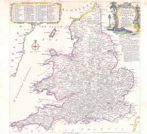
1837 - A fine original set of Four antique maps by Thomas Moule titled: "MAP OF THE INLAND NAVIGATION OF ENGLAND & WALES"
A very attractive original set of four antique engraved maps with original hand colouring.
Taken from " The English Counties delineated, or, a topographical description of England " published in 1837.
Thomas Moule (1784 - 1851) was an English antiquarian, writer on heraldry and map maker. He is best known for his highly decorated County Maps which were steel engraved.
The size of each map is approximately 21cm x 26cm.
The overall size is approximately 52cm x 42cm.
Generally good condition with no tears or repairs.
£75.00