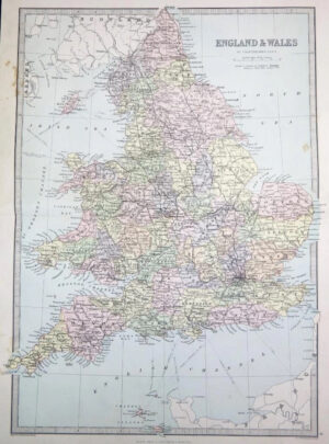
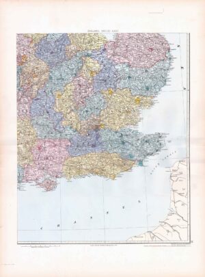
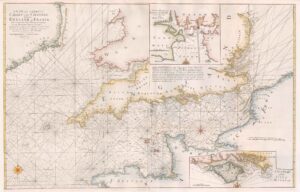
c1840 - " Map of ENGLAND & WALES Divided into Counties showing the Principal Roads, Railways, Canals and the Rivers as far as they are Navigable "
An original antique engraved map of England & Wales published for Lewis's 'Topographical Dictionary'. Outline and border hand colouring and folded with linen backing.
CONDITION: Excellent condition with hand colouring.
SIZE:52cm x 42cm including margins.
£60.50