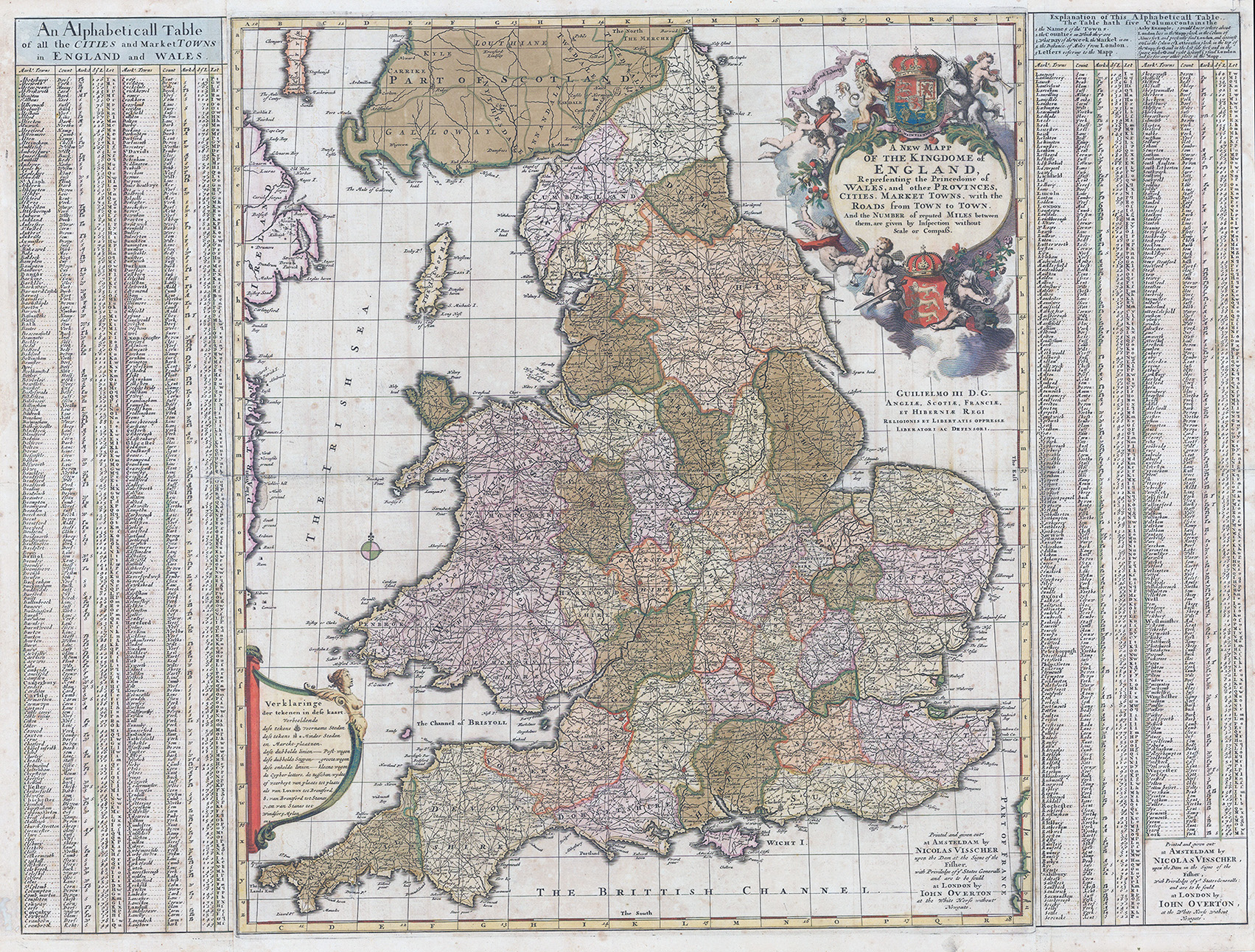
c1695 "A New Mapp of the Kingdome of England Representing the Princedome of Wales, and other Provinces, Cities, Market Towns, with the Roads from Town to Town. And the Number of reputed Miles between them, are given by Inspection without Scale or Compass. Printed and given out by Nicolas Visscher upon the Dam at the signe of the Fischer. and are to be sold by John Overton at the White Horse without Newgate"
Fascinating map of England and Wales, focusing on the distances between cities and market towns (large and small) at the end of the 17th Century. The map was published by Visscher, but includes a note that it was available for sale in London through John Overton, at the White Horse without Newgate. An interesting and unusual collaborative effort for the period.
Overall size approximately 79cm x 60.5cm including margins.
Condition is generally fine with extensive original hand colour and expected light tone spots.
£450.00