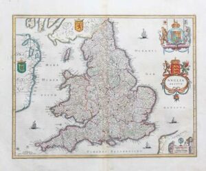
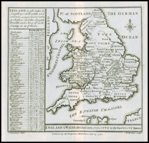
1719 - Large original antique engraved print titled "MOUVELLE CART DE L'ANGLETERRE DANS L'AQUELLE........" by Henry Chatelain.
A detailed and beautiful map of England and Wales, from Chatelain's Atlas Historique. The historic counties are shaded in full wash colour, in the tri-colour pastel palette typical of eighteenth century French maps. County towns and cities are picked out in red, and the parts of Northumberland that extend beyond the border of the plate are included in an inset boxed map in the top right. Like the majority of Chatelain's plates, the map is flanked by large columns of lists and explanatory text.
Overall size approximately 64cm x 49cm with fine detail later hand colouring and central fold as issued.
£110.00