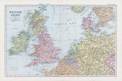
1898 - Large original colour map titled: " BRITISH ISLES SHOWING THE CONNECTIONS WITH THE CONTINENT "
Provenance: Taken from ' NEW GENERAL ATLAS OF THE WORLD ' published and edited by George W Bacon, 127 Strand, London, 1898.
Excellent condition with central fold as issued.
Size of map approximately 49cm x 35cm (19.5in x 13.5in) including margins.
£15.00