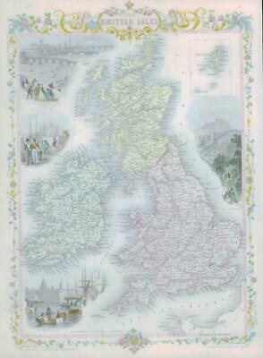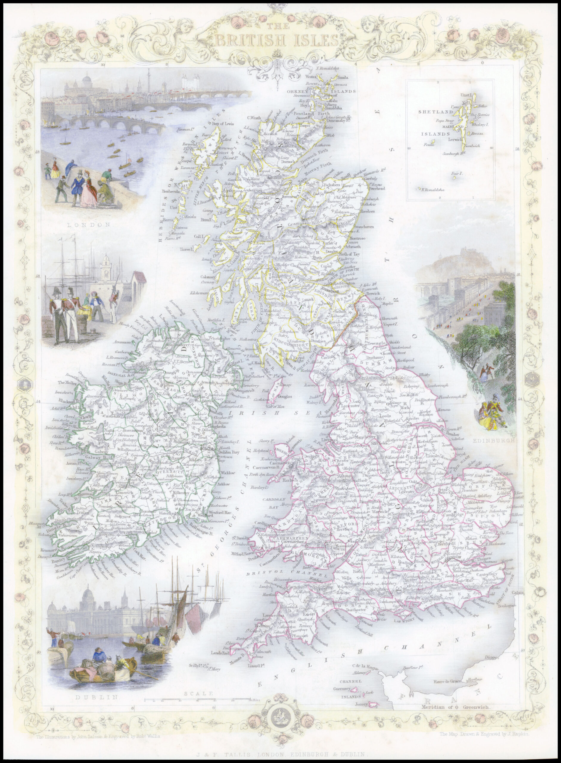
1850 - "BRITISH ISLES" Original antique map by John Tallis with vignette views of LONDON - EDINBURGH - DUBLIN.
Condition is generally fine with central fold as issued and FULL hand colour.
Some light tone spots in the top right corner.
Size approximately 35.5cm x 27cm including margins.
£200.00