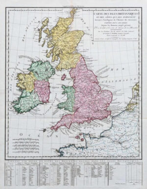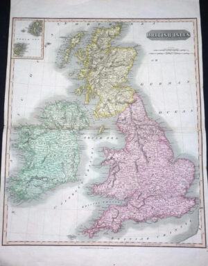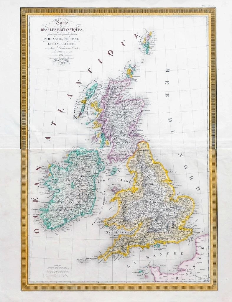
1834 - A large original engraved map titled: " CARTE DES ISLES BRITANNNIQUES formeas de trois grandes parties L'Irlande, L'Ecosse et L'Angleterre avec leurs Divisions en Comtes. Par L.Vivien, Geographe "
A fine original engraved map with original and later hand colouring published by L Vivien de St Martin.
Excellent condition with central folds as issued.
Size approximately 47cm x 61cm.
£80.00