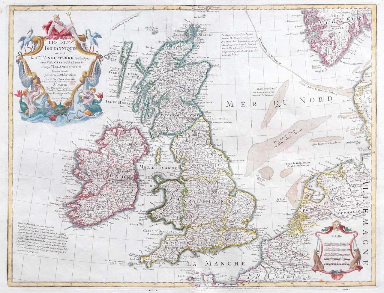
1772 - 'Les Isles Britanniques ou sont le Rme. d'Angleterre tiré de Sped celut d'Ecosse tiré de Th. Pont &c. et celut d'Irlande tiré de Petti'
A fine and highly detailed large map of the British Isles and across the North Sea showing part of Norway, Denmark and down to France. Large decorative cartouche with mythical figures at the top left and there is a Mileage scale cartouche at the bottom right.
Published by J.A.Dezauche, Paris with later hand colouring.
Approximately 73cm x 52cm including margins with central fold as issued.
Perfect for mounting and framing. Blank on verso.
£220.00