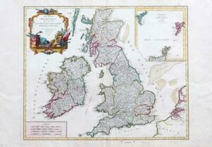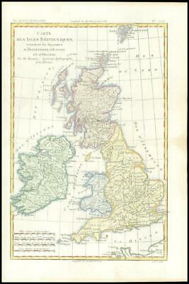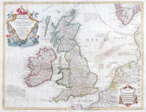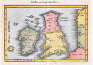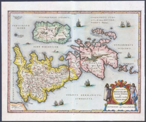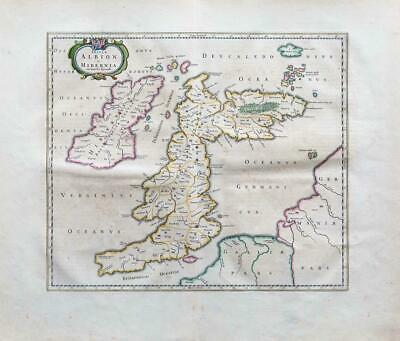
1654 - A large original engraved map titled: " Insulae Albion et Hibernia com minoribus adjacentibus "
ALBION (England & Wales) take a sharp right angle turn at BRITANNIA (Southern Scotland), which is depicted as lying East to West. HIBERNIA (Ireland) lies in the Eastern Ocean (Atlantic). Britain is separated from France by the "British Ocean" and from Germany by the "German Ocean". LONDINIUM is the capital. Latin text on the reverse.
Good condition with central fold as issued. There is some general overall age toning and some of the printing on the reverse shows through ever so slightly. Priced accordingly.
Approximately 53cmx 45cm with large margins, perfect for mounting and framing.
Joan (Johannes) Blaeu (1596-1673) was a Dutch cartographer active in the 17th Century. Joan was the son of Willem Janszoon Blaeu, founder of the Blaeu firm. Like his farther Willem, Johannes was born in Aklmaar, North Holland, He studied law, attaining a doctorate, before moving to Amsterdam to join the family mapmaking business. In 1633, Willem arranged for Johannes to take over Hessel Gerritsz's position as the official chartmaker of the Dutch East India Company, although little is known of his work for that organisation, which was by contract and oath secretive. Where other cartographers often fell into financial ruin, the Blaeu form thrived. It was most likely those profits that allowed the firm to publish the 'Theatrum Orbis Terrarum, Altlas Novus', their most significant and best known publication. When Willem Blaeu died in 1638, Johannes, along with this Borther Cornelius (1616-1648) took over the management of the Blaeu firm. In 1662, Joan and Cornelius produced a vastly expanded and updated work, the 'Atlas Novus', whose handful of editions ranged from 9 to 12 volumes. In 1672 the Great Amsterdam Fire destroyed their offices and most of their printing plates. Johannes Blaeu died the following year. Johannes Blaeu was survived by his son, also Johannes but commonly called Joan II, who inherited the family's VOC contract, for whom he compiled maps until 1712.
£250.00