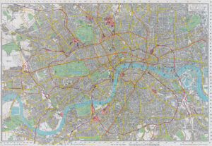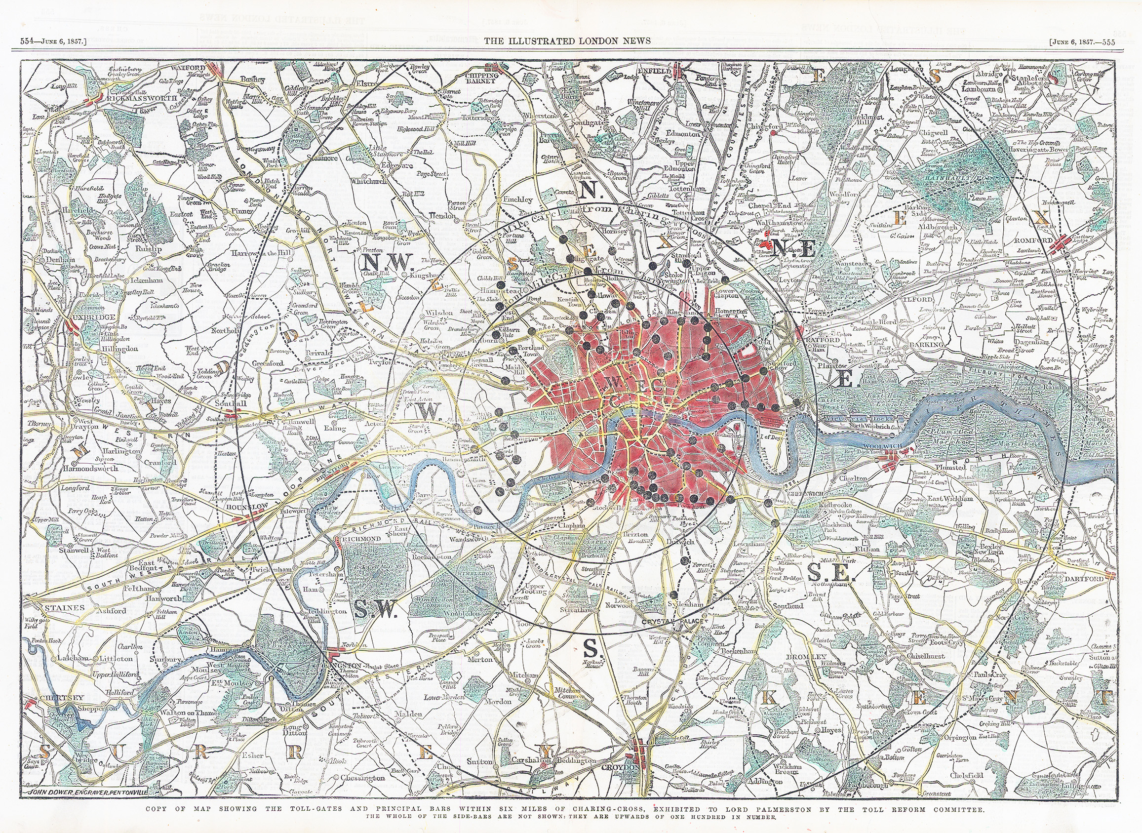
1857 "COPY OF MAP SHOWING THE TOLL-GATES AND PRINCIPAL BARS WITHIN SIX MILES OF CHARING-CROSS, EXHIBITED TO LORD PALMERSTON BY THE TOLL REFORM COMMITTEE". A fine original antique map published for The Illustrated London News Jun 6, 1857.
Most toll-gates (turnpikes) in London were removed between the mid-1840s and the 1870s, with a major removal of 140 tollbars occurring in 1864–65. Due to rapid urban expansion and public opposition, the last London turnpike trust lapsed in 1871, officially ending the widespread turnpike system in the city.
The Campaign: Anti-turnpike campaigns in the mid-19th century led to intense pressure to remove the gates, with a major crackdown occurring in 1864–1865
Final Closures: While many gates were removed earlier, the final trusts managing the roads in and around London ceased operations between 1871 and the 1880s
Legacy: Many former toll houses remain, and the term "Turnpike" survives in locations like Turnpike Lane
This is a fascinating map showing the extent of the toll-gates just a few years prior to the campaign to end the policy. Condition is generally very fine, hand coloured with central vertical fold, as issued. Overall size approx 5r5cm x 40cm including margins.
£150.00