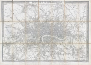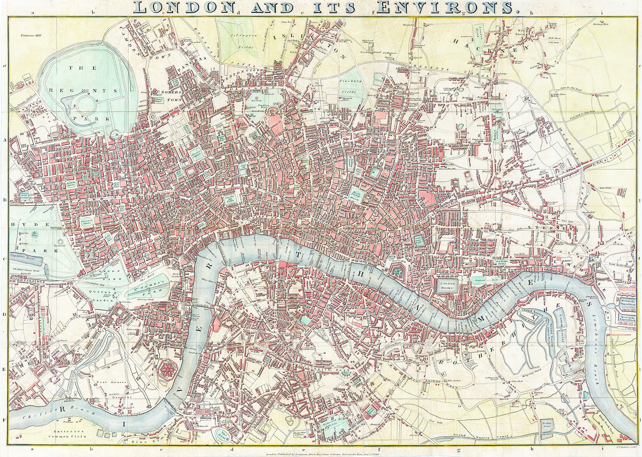
1818 "LONDON AND ITS ENVIRONS".
A fine FIRST EDITION example of this elegant Regency-era map of London extending from Chelsea to Limehouse and from Oval to Islington. Proposed improvements are marked with lighter dashed lines. Recent developments shown on this map include the Regent's Canal (completed 1820) & Regent's Park has been laid out but would not open to the public until 1835. The cartography has been edited by J. S. Britton and the map was engraved by F.P. Latham for "The original picture of London enlarged and improved" by J. S. Britton, published by Longman, Hurst, Rees, Orme & Brown of Paternoster Row. This map, updated to reflect the developments in the city, features in the 1818, 1822, 1825 and 1832 editions of the publication, this one being the FIRST EDITION from 1818.
Condition is generally very fine with hand colouring. Overall size approx 63cm x 45.5cm with several folds, as issued.
£350.00