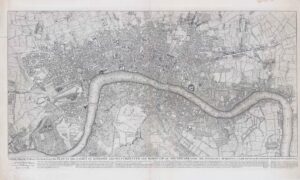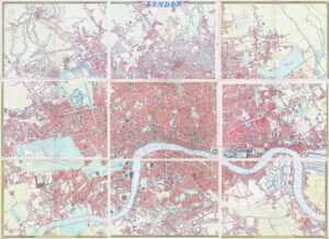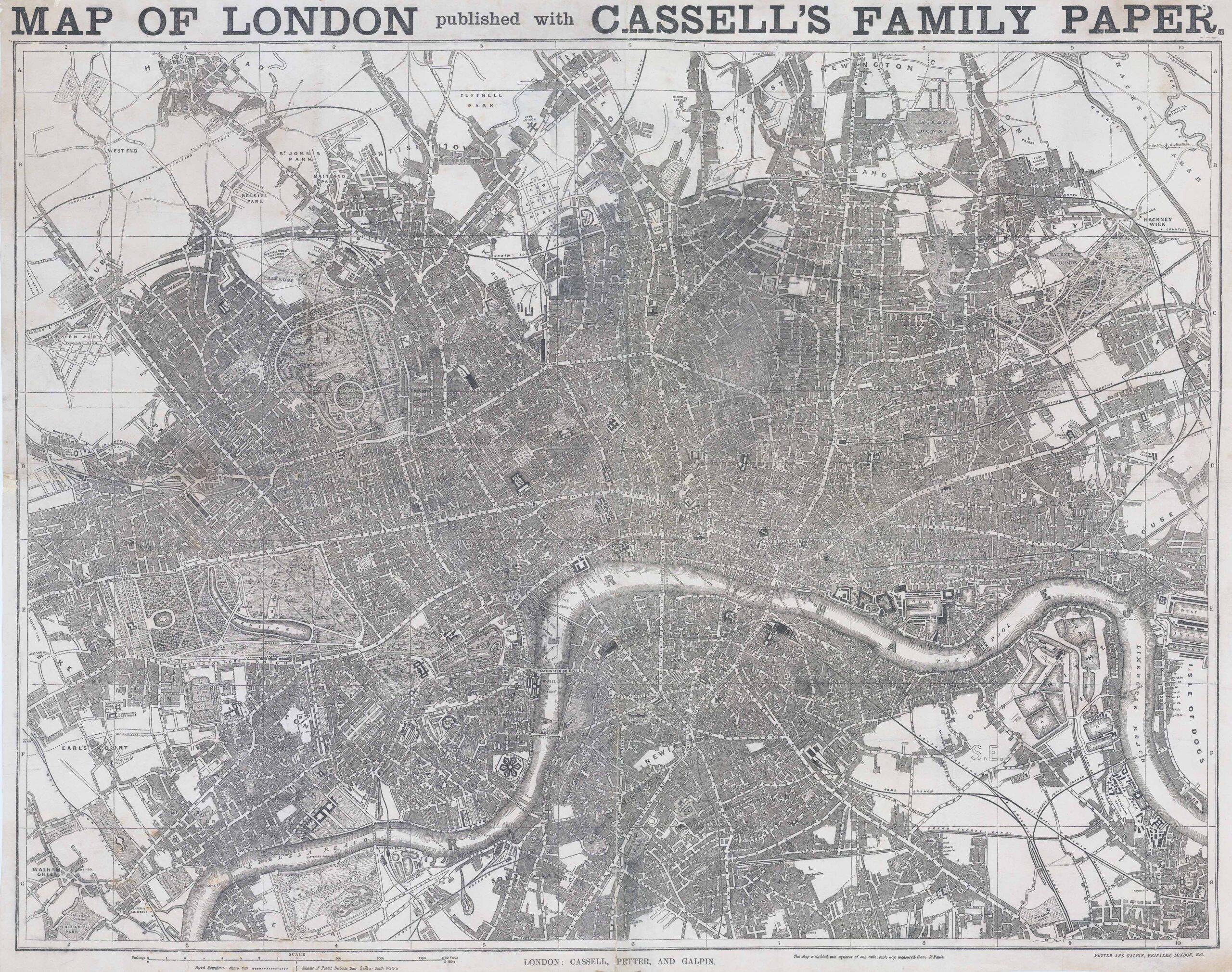
c1862 "MAP OF LONDON PUBLISHED WITH CASSELL'S PAPER".
A fine and very large lithograph printed plan of London. Cassell's 'immense map' of London was prepared for the Weekly Dispatch and published in nine parts between January 1861 and April 1862. This example with the Cassell imprint probably appeared with Cassell’s illustrated family paper the following year. The map is divided into squares of one mile, each way measured from St Paul's.
Size approximately 83m x 66cm including the margins.
Condition is very fine. The map has been historically re-lined and there are some professional repairs to some of the margin areas, along the original folds.
£425.00