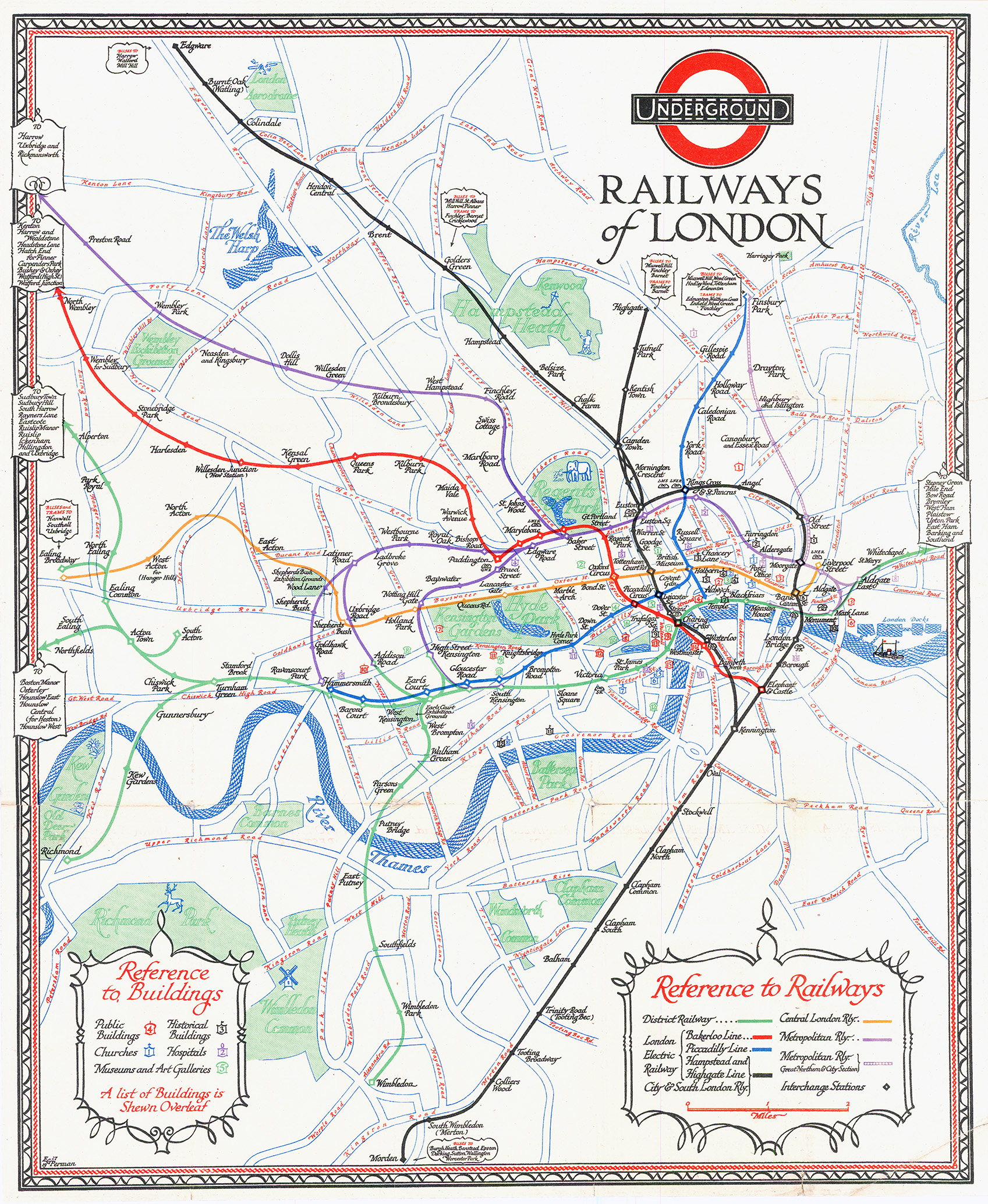
1928 - "WHAT to SEE and HOW to TRAVEL - SUMMER 1928 - UNDERGROUND - MAP OF THE ELECTRIC RAILWAYS OF LONDON".
A fine and scarce survivor. Condition generally good with a outer margin closed tears and a crease at the bottom right corner.
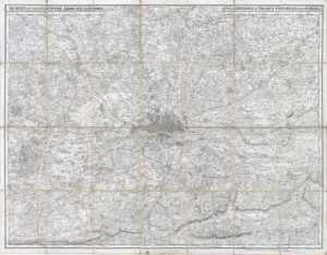
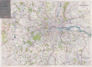
Size approximately 36cm x 44cm.
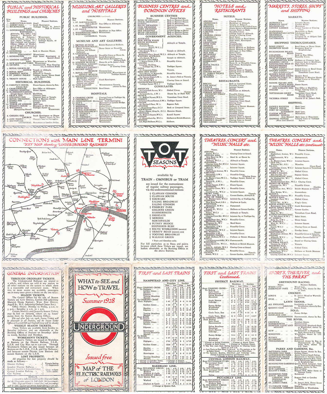
One of the most unique and visually appealing Underground maps was designed in 1927 by the graphic artist E.G. Perman and published in just two editions the following year. The border and fonts are reminiscent of Macdonald Gill's folding Tube maps, but the miniature decorative elements, such as an elephant in London Zoo, a stag in Richmond Park, and a river boat on the Thames near Wapping, are unique, adding a charming element of whimsy to an otherwise practical map. Public buildings, museums & galleries, historical buildings, churches, and hospitals are specifically marked on the map and numbered according to a key on the verso.
This is the only folding Underground map issued in portrait orientation and the only Tube map designed by Perman. In contrast to contemporary maps by Macdonald Gill and Fred Stingemore, Perman is able to include a basic background map without cluttering his design. The combination of the decorative elements, geographical layout, and clever use of colour makes this one of the most attractive Tube maps ever published. It is a great shame that Perman's map was only issued twice in 1928 and then retired.
£380.00