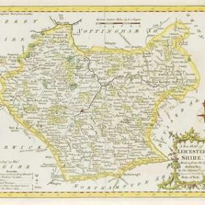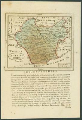
c1787 - An original antique Map by John Seller titled: "LEICESTERSHIRE"
Late 18th century county map of Isle of Wight from the "Supplement to the Antiquities of England and Wales" by Francis Grose Esq F.R.S. published in London between 1773 and 1787. Francis Grose retouched the plates that John Seller used in his "Anglia Contracta" (published in London circa 1697). Seller had used a scaled-up version of the county maps from John Speed's pocket atlas circa 1676.
This finely detailed map appears above interesting historical information of the County. Each page is heavy grade paper, from the tall edition of this work.
Overall approximately size 170mm x 270mm.
£19.25