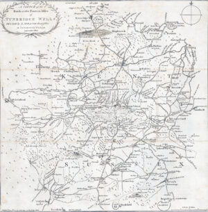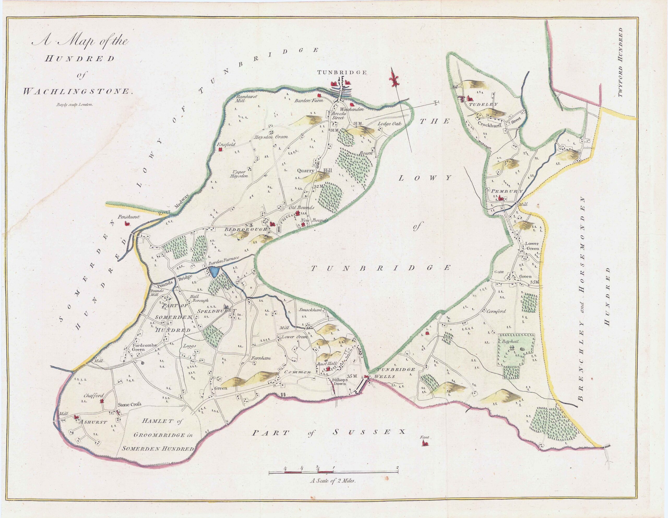
1778 Original Antique engraved Map titled: 'A Map of the HUNDRED of WACHLINGSTONE' And showing the areas of Tunbridge Wells, Tonbridge, Pembury, Tudeley, Crockhurst, Speldhurst, Ashurst, Farnham, Bishops Down, Lower Green, Quarry Hill, Bidborough, Pounds Bridge etc.
A fine rare original copper engraving measuring 410mm x 480mm with close to large margins, perfect for mounting and framing.
Taken from Hasted's 'History of Kent'.
CONDITION: Original antique print is in good condition with the central folds as issued and with expert hand colouring. There is some sign of age and offsetting, being nearly 250 years old, tight margins on the bottom right and top and with a small corner piece top left missing on the margin, but once mounted and framed, will look excellent.
£88.00