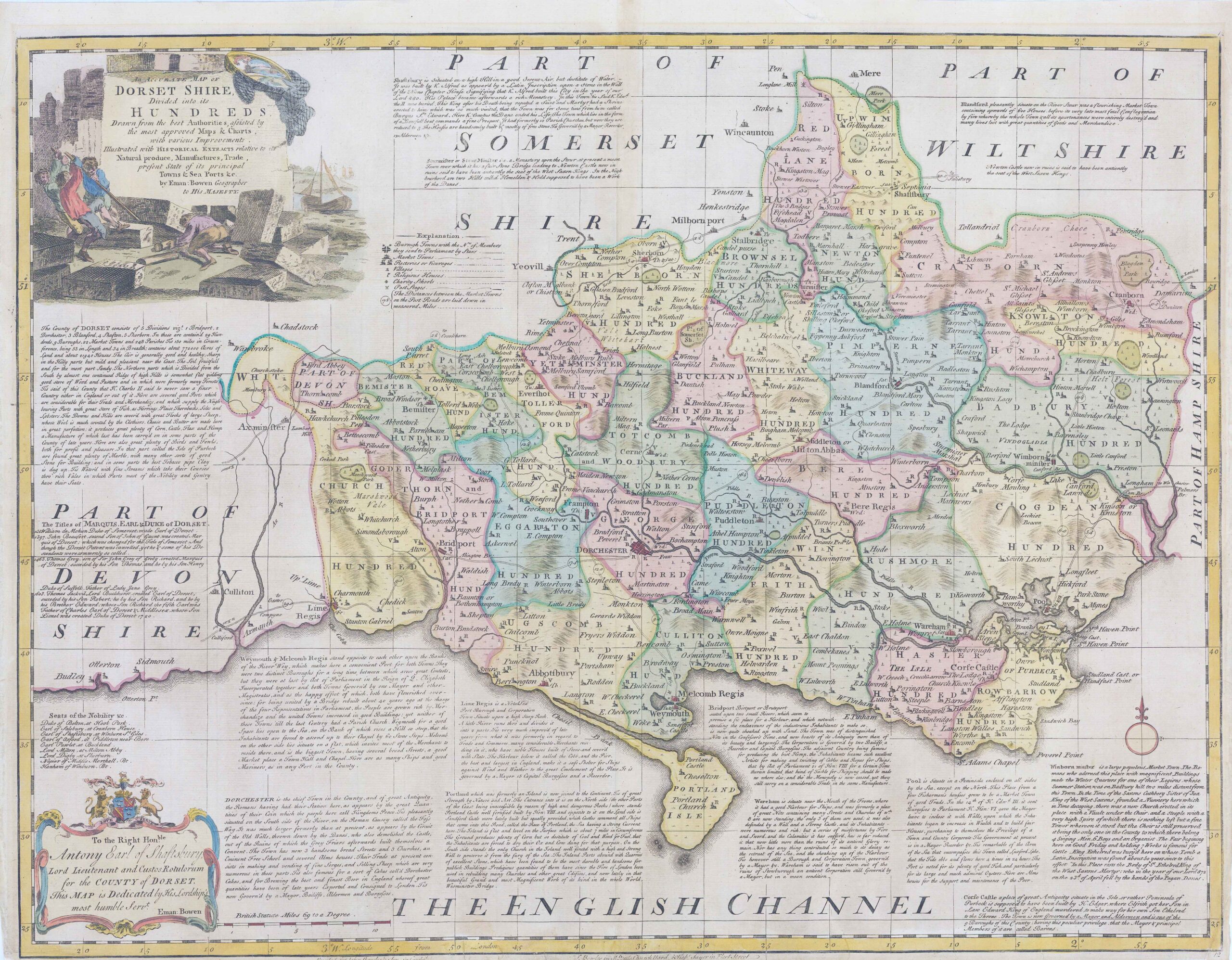
1760 - "AN ACCURATE MAP OF DORSET SHIRE Divided into its HUNDREDS Drawn from the best Authorities assisted by the most approved Maps & Charts...........by Eman: Bowen Geographer to His Majesty". A very fine example of this large-scale map by Emmanuel Bowen.
Size approximately 71.5cm x 56.5cm including the margins.
Condition is generally fine with re-enforcement backing along the bottom margin & later hand colouring.
£300.00