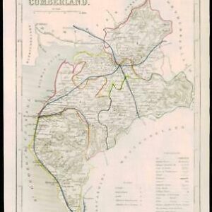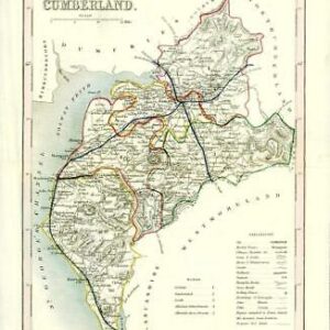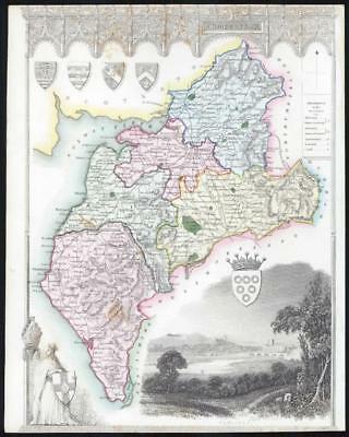
1837 - A fine original antique map by Thomas Moule titled:"CUMBERLAND"
A very attractive original antique engraved map with outline boundary original hand colour. Vignette view of CARLISLE.
Taken from " The English Counties delineated, or, a topographical description of England " published in 1837.
Thomas Moule (1784 - 1851) was en English antiquarian, writer on heraldry and map maper. He is best known for his highly decorated County Maps which were steel engraved.
Overall size including backing paper 21cm x 26.5cm.
Map in good condition with no tears or repairs.
Perfect for mounting & framing. Top & Bottom margins trimmed & some tone spots.
£22.00