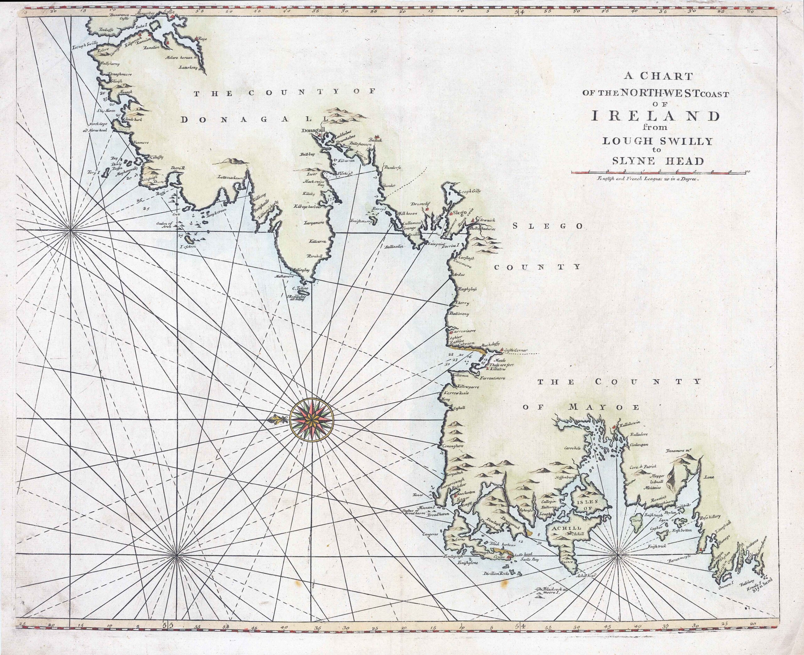
c1729 "A CHART OF THE NORTH WEST COAST OF IRELAND from LOUGH SWILLY to SLYNE HEAD"
An uncommon sea chart of the north western portion of Ireland which was first published by William Mount and Thomas Page from at least 1729 in the ‘English Pilot First Part, Southern Navigation’. It extends along the west coast from County Mayo northwards to Letterkenny with north orientated to the left. In between the County of ‘Slego’ is identified as is the town of Sligo. Finally the County of ‘Donagall’ and the town of Donegal are also displayed. There are some hills depicted inland otherwise as might be expected there is no inland detail beyond coastal towns and harbours being named. There are very sparse soundings given along with a number of anchorage points.
W & J Mount and T. Page at the Postern on Tower Hill, London, 1729-[49].
Overall size approx 57cm x 46cm including margins.
Condition is generally fine with central fold as issued. Later outline hand colour.
£180.00