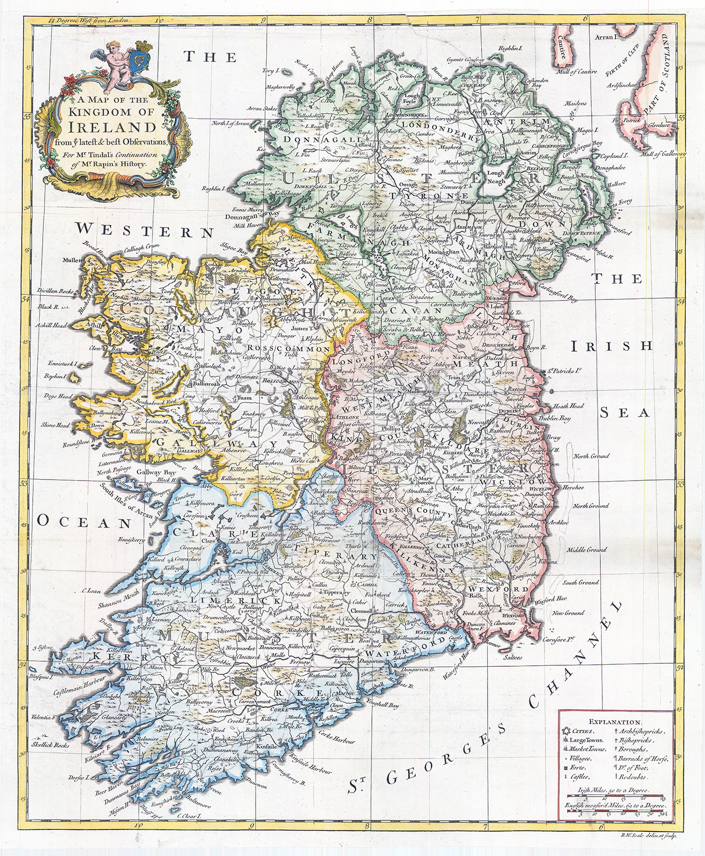
c1732 "A MAP OF THE KINGDOM OF IRELAND from ye latest & best Observations For Mr Tindal's Continuation of Mr Rapin's History"
Decorative example of Robert Seale's map of Ireland, which appeared in Tindal's Continuation of Rapin's History, published in London. Ireland is coloured by counties and shows towns, roads, rivers, lakes, mountains, castles, islands, bays, etc.The key at the bottom left includes symbols for identifying Cities, Large Towns, Market Towns, Villages, Forts, Castles, Archbishopricks, Bishopricks, Boroughs, horse barracks, foot soldier barracks, redoubts, etc.
Overall size approx 51 x 42cm. Condition is generally fine with some restoration to historical tear at the top centre right.
£225.00