1778 A NEW AND ACCURATE MAP OF IRELAND Antique Map by Thomas Bowen (SM5-39)

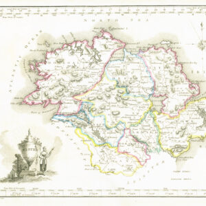
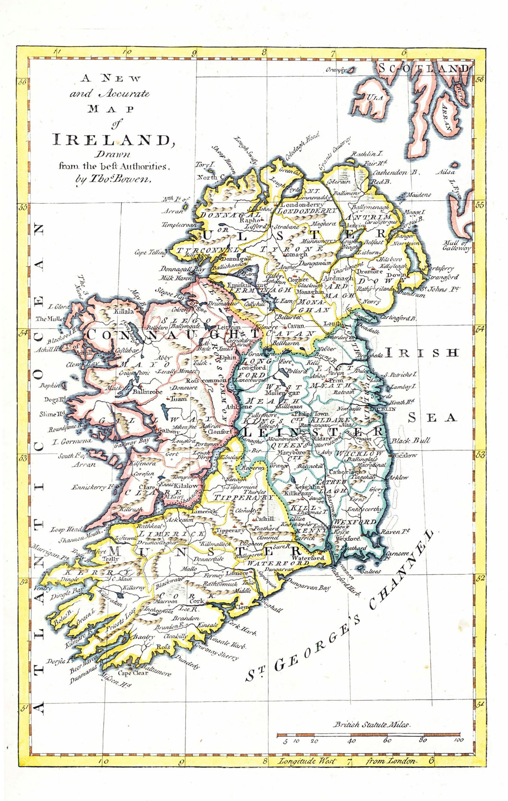
1778 "A NEW and ACCURATE MAP of IRELAND Drawn from the best Authorities by Tho(ma)s Bowen".

A fine original antique map of Ireland also showing part of the West Coast of Scotland. Size approx 21.5cm x 34.5cm including margins Overall size approx 27cm x 21.5cm. Condition very fine.

£80.00

1 in stock

© Copyright 2024 - The Antique Paper Company - All Rights Reserved
heartshopping-cart linkedin facebook pinterest youtube rss twitter instagram facebook-blank rss-blank linkedin-blank pinterest youtube twitter instagram