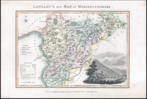
1787 "MONMOUTHSHIRE"
A fine antique engraved map with outline boundary hand colour. Map in excellent condition. Published for "Cary's New and Correct English Atlas Being a New set of County Maps from Actual Surveys". Cary served his apprenticeship as an engraver in London before setting up his own business on the Strand in London in 1783. He soon gained a reputation for his maps and globes, his atlas The New and Correct English Atlas published in 1787 becoming a standard reference work in England.
Overall size approx. 23.5cm x 31cm. Condition is excellent.
£25.00