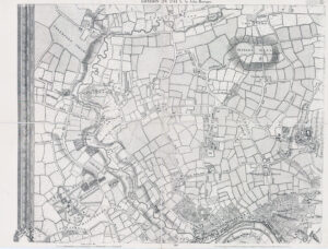
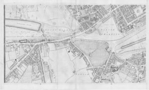
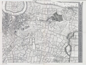
c1900s "INDICATOR MAP OF LONDON DIVIDED INTO QUARTER MILE SQUARES FOR MEASURING DISTANCES".
A fine antique & highly detailed folding lithograph map, linen backed. Stretching from, in the north, WILLESDEN GREEN over to VICTORIA PART, and in the south from BARNES COMMON across to PECKHAM & NUNHEAD. Underground and Railways highlighted in Red.
Overall size approximately 90cm x 61cm. Condition is generally good with some splits on a few of the linen folds.
£80.00